
SDIP
Dynamic Passenger Information System (SDIP) is one of the most important elements of modern public transport. It significantly increases the comfort of passengers while traveling, enabling them to obtain information necessary for the comfort of traveling. At the same time, it provides the carrier with quick communication with passengers.
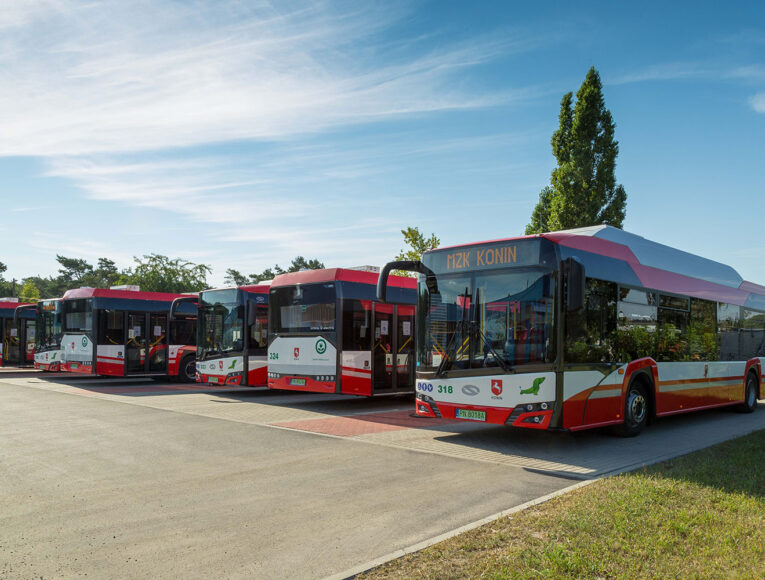
The aforementioned system is most commonly used in vehicles, stations, communication nodes, platforms and stops.
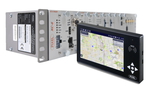
The main components are electronic information boards and audio information devices.
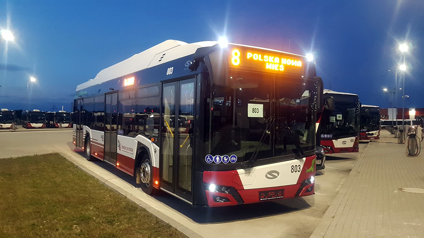
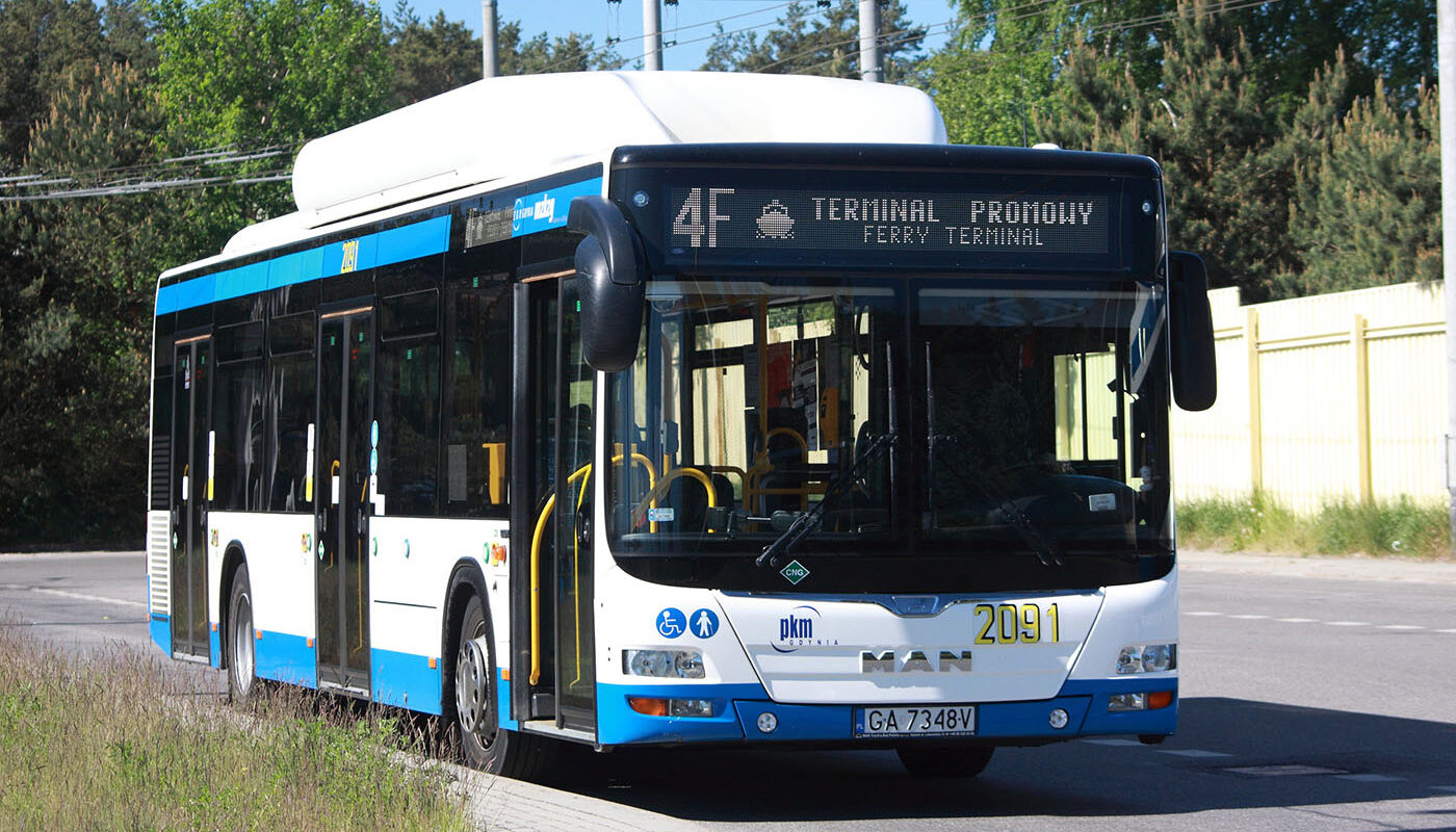
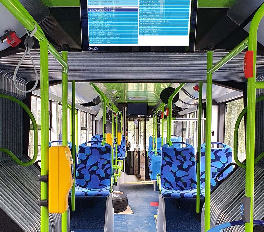
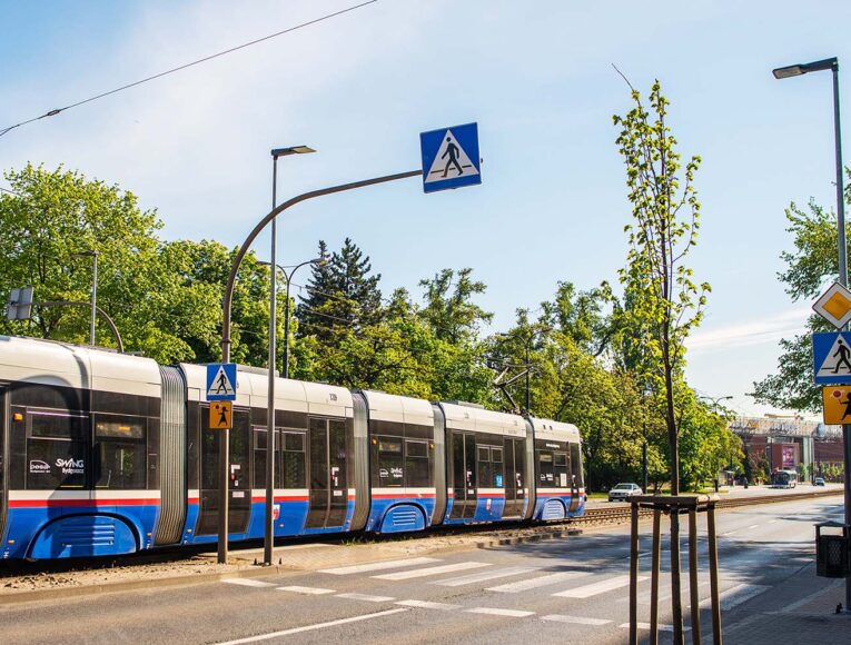
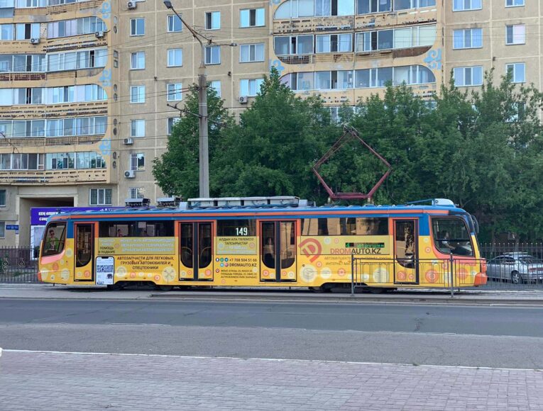
In the vehicle, visual information is provided by electronic directional boards. Depending on the demand, the boards are of different sizes, and the matrices they are made of have different resolutions and manufacturing technology. They are installed at the front, sides, rear and inside the vehicle.
Additionally, a voice announcement system is installed, which increases the effectiveness of information provided to passengers. All the devices mentioned above are controlled by an on-board computer.
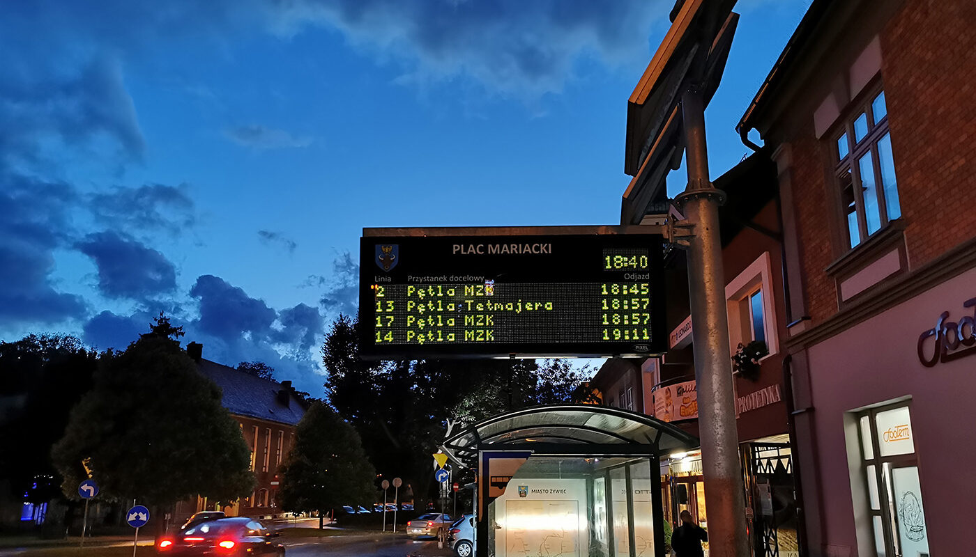
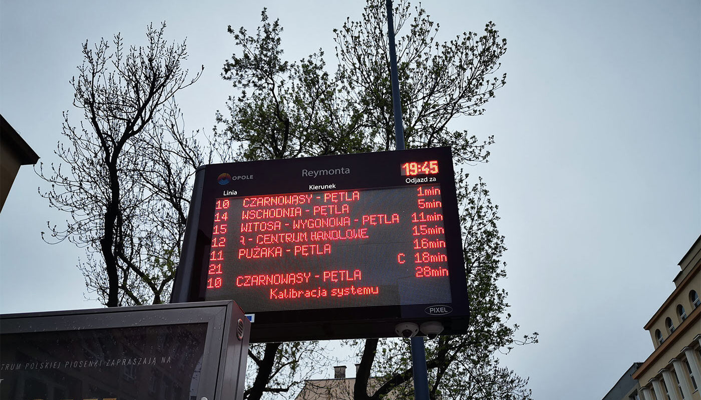
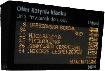
At railway stations, visual information is provided via electronic arrival and departure boards placed in halls, waiting rooms, and on platforms, and voice announcements ensure its comprehensiveness. Specialized software presents the content automatically, delivering predefined content to be displayed on all system boards.
The system can provide passengers with scheduled information only, without automatically taking into account changes (e.g. delays). In real-time (on-line) mode, the tables display the schedule time, but it is dynamically corrected for any deviations during driving. Modifications are automatic. Thanks to this, the passenger waiting at the stop always sees the actual departure time of the vehicle from the stop, in which possible deviations from the schedule have been taken into account.

 The most important features of the system
-
- Actual passenger information in the vehicle and at the bus stop,
- GIS-based planning,
- Timetable analyzes,
- Locations, times and occupancy of vehicles,
- Positioning of stops and other network points,
- Determining travel times and distances,
- Priority for public transport,
- Vehicle tracking on the map,
- Export of comparative statistics between planned / current time,
- Real-time surveillance of moving vehicles.
Do you want to know more about the system? Contact our sales department
Talk to the Merchant